Iceland rewards travellers who plan ahead and punishes those who don’t. The country’s landscapes — braided glacial rivers, smouldering lava fields, fractured ice caps, towering sea cliffs — are as extraordinary as anything on Earth. But they’re spread across a remote island the size of Kentucky, with weather that changes in minutes and distances that deceive on maps. Here’s how to see the best of it without the common mistakes.
The Ring Road: Your Framework
Route 1 — the Ring Road — circles the entire island and is the spine of almost every Iceland itinerary. A full loop covers roughly 1,332 km and takes a minimum of seven days, though ten to fourteen is far more rewarding. Rent a 4WD vehicle regardless of season: Iceland’s interior roads (marked “F-roads” on maps) legally require one, and even the Ring Road can see sudden ice, flooding, or ash storms that smaller vehicles can’t handle safely. Campervan rental (from around €120/day in shoulder season) gives you flexibility and keeps accommodation costs down.
The South Coast: Where Most Trips Should Start
The south coast between Reykjavík and Jökulsárlón glacier lagoon is Iceland’s most accessible and most dramatic stretch. Seljalandsfoss and Skógafoss waterfalls, the black sand beach at Vík, the Fjaðrárgljufur canyon, and the floating icebergs of Jökulsárlón are all within a few hours of each other. Spend at least three nights here. The village of Vík makes a good base; accommodation books fast in summer so reserve months in advance.
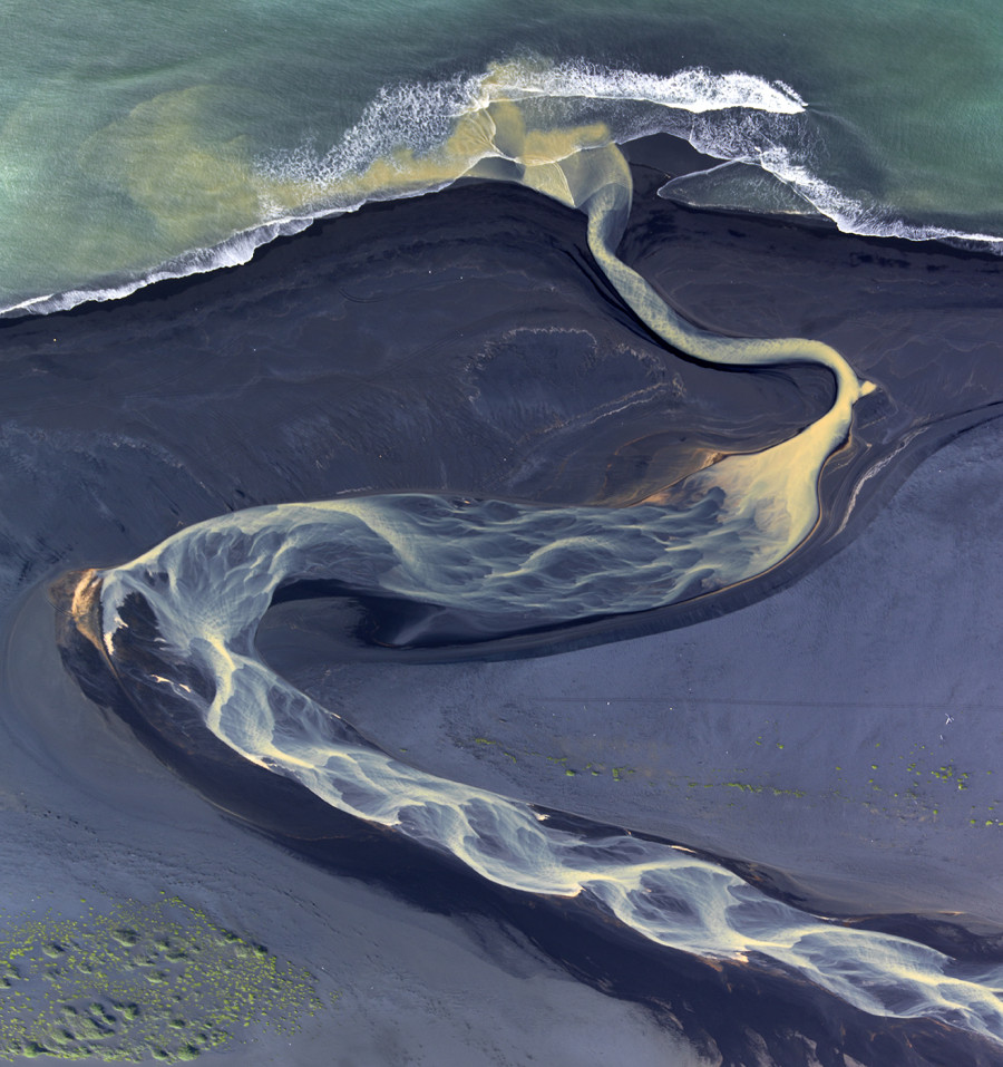
Vatnäjökull: Europe’s Largest Glacier
Vatnäjökull covers roughly 8% of Iceland’s total land area — it’s larger than all the glaciers of continental Europe combined. You can walk on it (guided glacier hikes depart from multiple access points; Skaftafell is the most popular), kayak among the icebergs in the lagoon at Jökulsárlón, or explore the ice caves that form inside its outlet glaciers each winter (October through March only). The blue ice caves in particular are genuinely one of the most spectacular things you can see on this planet — book tours through Troll Expeditions or Local Guide of Vatnajökull, and book early.
Snæfellsnes Peninsula: Iceland in Miniature
If you only have four or five days, consider spending them almost entirely on the Snæfellsnes Peninsula (two hours north of Reykjavík). It packs lava fields, sea cliffs, fishing villages, a glacier-capped volcano (Snæfellsjökull), and some of the best whale watching in Iceland into an area manageable in a few days. Less crowded than the south coast and surprisingly underrated given how spectacular it is.
When to Go: The Honest Assessment
Summer (June–August) offers 24-hour daylight, the best road conditions, and access to highland F-roads — but also peak crowds and prices. Winter (November–February) brings aurora opportunities, ice caves, and dramatically lower prices, but short days (four to five hours of usable light) and roads that can close without warning. The best balance: late April to mid-May (spring green, snow on the mountains, reasonable prices, long days) or September (summer crowds gone, first auroras possible, F-roads still open). Pack for rain and wind regardless of when you go.


Leave a Reply